MUNICIPAL & GIS
A living pavement index and GIS basemap, from the work you already do.
As Snowbotix maintains city routes, it continuously captures the condition of roads, sidewalks, and assets, producing a pavement management index, accessibility map, and refreshable GIS basemap without a dedicated survey program.
What It Captures
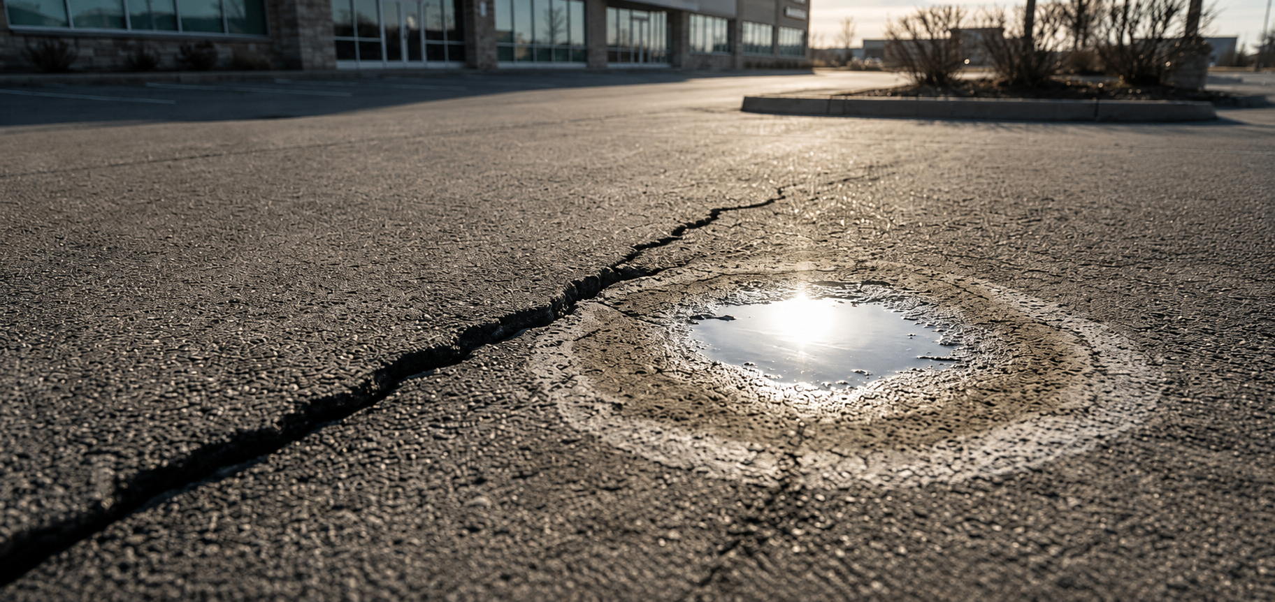
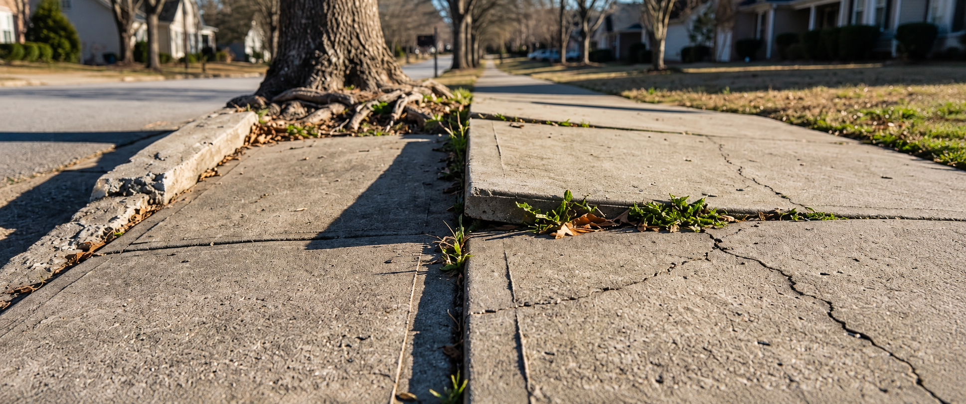
Pavement Management Index
Road and sidewalk condition scored and tracked over time to prioritize capital budget.
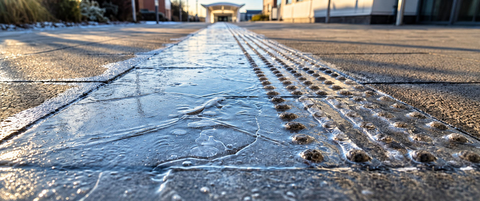
ADA / sidewalk compliance map
Accessibility and curb data mapped to support ADA obligations and grant reporting.
Continuous GIS basemap
A refreshable geospatial base layer of civic infrastructure for planning and 311.
Business Value
Capital planning evidence, from operating spend.
Municipal capital planning runs on condition data that is usually expensive and stale. A maintenance fleet that refreshes that data every pass makes budgeting defensible, supports ADA compliance, and reduces service complaints.